")

Danube Excursion: Linz—Krems
Linz → Hütting → Grein → Melk → Krems
18.08.2017

Dangers of the Danube: Floods and Rapids throughout History
On the fourth day of our excursion, the group had the opportunity to learn from Christian Rohr (University of Bern) and Severin Hohensinner (University of Natural Resources and Applied Life Sciences in Vienna), who shared their expertise with us during the various stops along the way.
Hütting and the Machland Dam
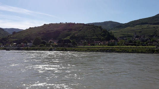
The first series of stops were concentrated around the small town of Hütting, part of the longest connected dam-building program in Central Europe, which cost around €180 million and was completed in 2012. Forty-five kilometers of dams and flood retention areas now follow the course of the Danube in this region. The area has a long history of flooding, and the town has learned how to deal with these events over time.
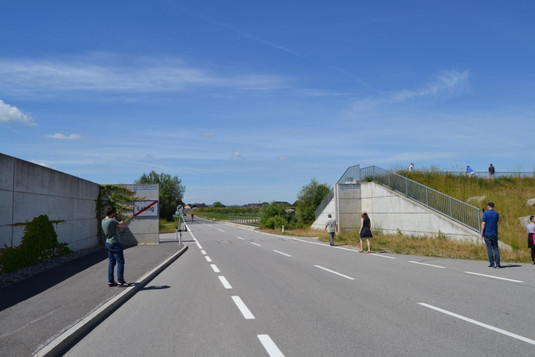
Part of the flood defences around Labing. Photo: David Stäblein.
Hütting was a market town in the Middle Ages—one of nine in Upper Austria. Despite severe floods occurring roughly every 10 years, people have, until recently, adapted and remained there. The area had been economically profitable due to its nutrient-rich, fertile soils, with great employment opportunities from prospering river trade. The Danube was a very important trade route, particularly during the period of Habsburg rule. The enormous growth in population caused people to settle near the river despite the well-known problems it caused. During periods when the Danube ran calm, they grew crops and farmed cattle; during periods of high water, the people and their livestock would move to the upper floors of their houses and wait for the water to drain. If the situation was really severe, they would use traditional boats known as Zilles and Plätten to transport themselves and their livestock to safety. The houses had to be adapted, too; because they were made of wood, “floating away” was a huge problem—not only for the wooden floors but also provisions stored in barrels. Vertical pillars helped to secure the lower parts of the houses against floating and disintegrating, using the ceiling as a counterweight.
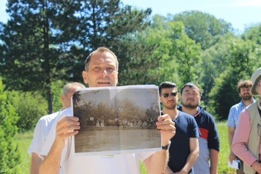
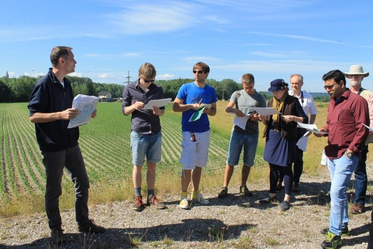
Discussing Hütting’s history and evolution. Photos: Laura Kuen.
As a further safety measure, a dam structure was built in 1954 to secure the town against high waters. These dams, however, were situated directly at the river and provided no space for the water to overflow and spread. Flood plains, or retention areas, can act as storage, soaking up some of the water and unburdening areas further downstream. Today, engineers are aware of this and modern dams are built further away from rivers. What has happened to the villages and settlements of Machland, and how has their strong historical relationship with the river been affected by the new dam?
Read the full article on Seeing the Woods.