")

Cartography Workshop
Tired of inadequate maps of your study area?
26.04.2018 15:30 – 17:30
Learn how to construct maps in a few simple steps at the Geographic information system (GIS) workshop at the RCC 4th floor conference room on Thursday, 26th of April. The event is open to Carson fellows, ESP & doctoral students.
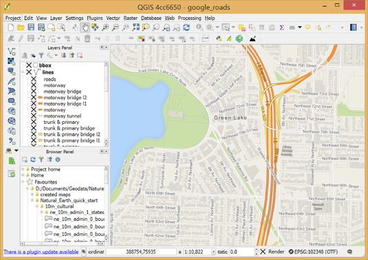
QGIS is a user friendly Open Source Geographic Information System (GIS) licensed under the GNU General Public License. QGIS is an official project of the Open Source Geospatial Foundation (OSGeo). It runs on Linux, Unix, Mac OSX, Windows and Android and supports numerous vector, raster, and database formats and functionalities. Photo Credit: QGIS, https://www.qgis.org/en/site/about/index.html.
At first, David Stäblein will give some impressions of what is possible with GIS. Subsequently, you will be able to explore for which aspect of your own project it could be helpful. After this short introduction you will learn where you can find some good open-source data, software and, of course, how to use them. Due to the short timeframe of this two hour-workshop, it would be nice if the ones who want to follow this course hands on could install the free software qgis 2.18 beforehand. Basic data for some working examples will be provided by the lecturer and shared via USB. At last, the group can discuss its progress, problems, and have a look if there a still some unanswered questions.